Thursday, February 26, 2026, brought contrasting weather across Gujarat. While parts of the state grapple with rising temperatures, others are bracing for unseasonal rain and thundershowers over the next 24 hours.
The India Meteorological Department has attributed this instability to multiple active weather systems simultaneously influencing the region. Residents in several districts have been advised to stay alert as conditions remain fluid.
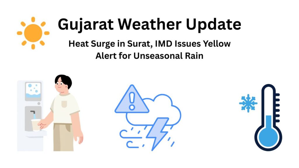
Temperature Update: Surat Feels the Heat
The city of Surat emerged as one of the hottest locations in Gujarat this week. On Wednesday, the maximum temperature touched 37.6°C – a full 4.3 degrees above normal for this time of year.
Residents reported intense afternoon heat, particularly between 1 PM and 4 PM when the sun was at its peak. Warm winds added to the discomfort, making outdoor activity challenging during those hours.
For today, the expected temperature range in Surat is:
- Maximum Temperature: 35.5°C to 36°C
- Minimum Temperature: Around 21°C
Humidity levels remain moderate, but the combination of warmth and moisture in the air is keeping conditions uncomfortable.
Surat Temperature Snapshot
| Detail | Reading |
| Wednesday’s Maximum | 37.6°C (4.3°C above normal) |
| Today’s Expected Max | 35.5°C to 36°C |
| Today’s Expected Min | Around 21°C |
| Hottest Period | 1 PM to 4 PM |
Yellow Alert and Rain Forecast
The IMD has issued a yellow alert for parts of Gujarat, warning of possible light to moderate rain accompanied by thunderstorms and gusty winds in isolated areas.
A yellow alert means residents should remain aware and monitor updates. Widespread disruption is not expected, but localized impacts cannot be ruled out.
Districts Likely to Receive Rain
While Surat is expected to remain mostly dry, nearby and interior districts may witness light showers.
South and Central Gujarat
- Tapi district
- Dang district
- Narmada district
North and East Gujarat
- Sabarkantha district
- Aravalli district
Saurashtra Region
- Amreli
- Bhavnagar
Residents in these districts may experience brief showers, lightning activity, and wind speeds picking up during evening hours. The rain, if it comes, is unlikely to last long but could cause temporary disruptions.
What’s Causing This Weather Change
Meteorologists point to a combination of factors driving the current unstable conditions.
- A Western Disturbance affecting the region
- Cyclonic circulation over parts of western India
- A trough line extending across Gujarat
This combination is locally referred to as “mavthu” – unseasonal rainfall that typically occurs during the winter transition period. The interaction between these systems is creating pockets of atmospheric instability, leading to thundercloud development in some areas.
Weather Systems at Play
| System | Impact |
| Western Disturbance | Brings moisture and instability |
| Cyclonic Circulation | Enhances cloud formation |
| Trough Line | Extends across Gujarat, triggering showers |
Advisory for Residents
Authorities have issued clear guidelines for people in the alert zones.
Stay indoors during lightning activity. Open spaces become dangerous when lightning is active. If you hear thunder, seek shelter immediately.
Avoid sheltering under trees. Trees attract lightning and branches can fall during gusty winds. Find proper covered accommodation instead.
Secure loose objects on terraces and balconies. Wind speeds may pick up suddenly, and unsecured items can become projectiles.
Drive carefully during sudden showers. Roads become slippery, and visibility drops. Reduce speed and maintain safe distance from other vehicles.
Farmers on Alert
The sudden weather shift has raised concerns among farmers, particularly those with crops ready for harvest. Wheat, vegetables, and horticulture crops are most vulnerable at this stage.
Even short spells of rain combined with gusty winds can cause localized damage to standing crops. Agriculture officials are closely monitoring the situation and have urged farmers to take precautionary measures where possible.
Weather Outlook From February 27
From Friday onward, weather conditions across most of Gujarat are expected to gradually stabilize. The current systems are projected to weaken, reducing the likelihood of further rain.
Dry weather is likely to return in the coming days. However, temperatures may remain slightly above seasonal averages, meaning the heat isn’t going away entirely.
For now, residents in the alerted districts should stay weather-aware, especially during evening hours when thunderstorm activity is most likely. A yellow alert isn’t cause for panic, but it is reason to pay attention.